Girivalam route and map
Start at the east Rajagopuram of the temple, turn south, and walk clockwise around Arunachala with the hill always on your right until you return to town from the north-east. Here is the route stretch by stretch, with a map of the verified landmarks.
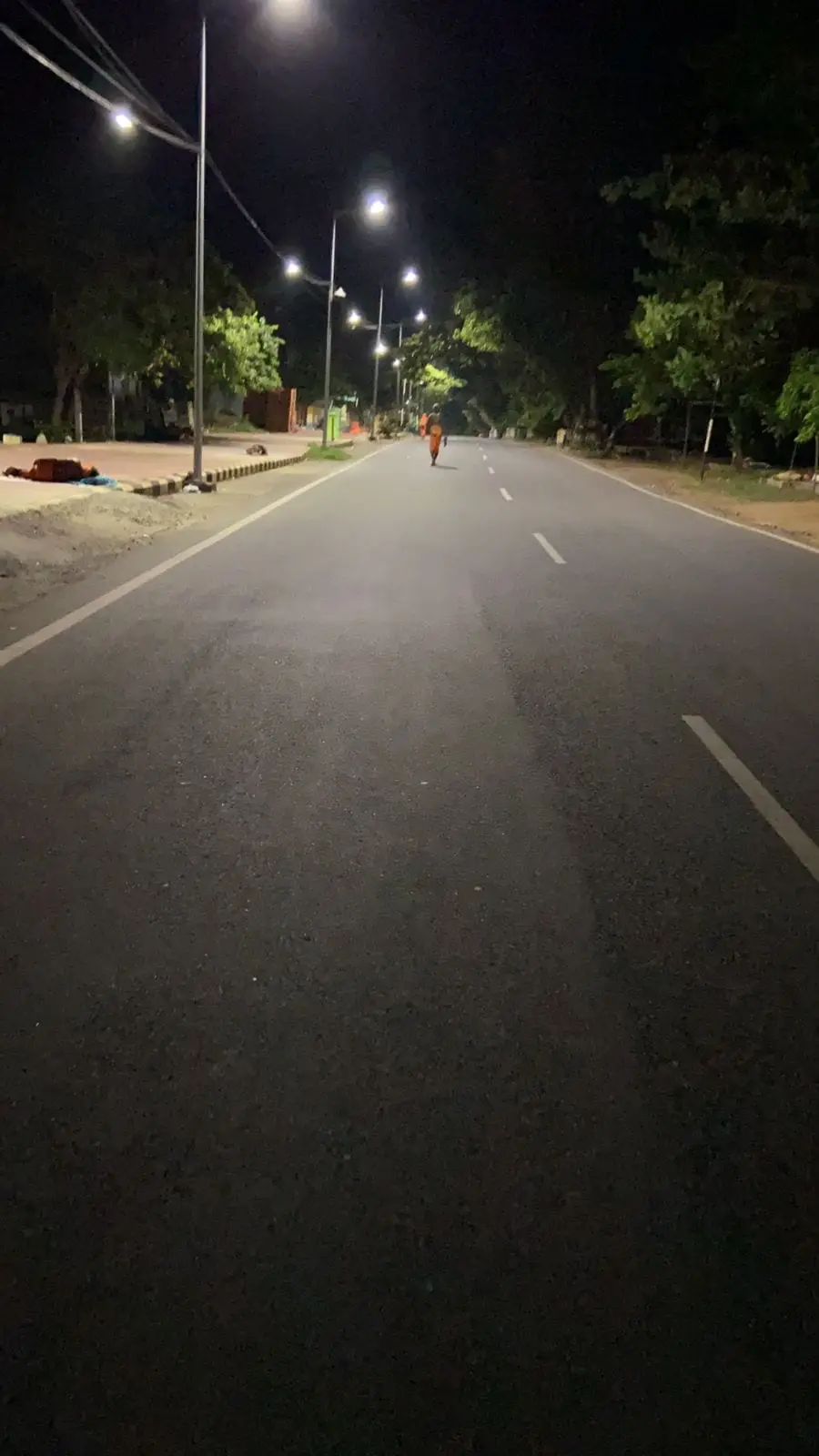
Where to start
The traditional starting point is the east Rajagopuram of Arunachaleswarar Temple, usually after darshan. Many pilgrims also start from their hotel or ashram on the route. That’s fine, as long as you walk clockwise and finish where you began.
Direction
Keep Arunachala on your right the whole way. In practice:
- Leave the temple and head south-west towards Chengam Road.
- Follow the road west along the southern face of the hill.
- Turn north on the far (western) side.
- Come back east along the northern side into town.
Walk on the left side of the road. That leaves the right for faster walkers and occasional vehicles, and keeps the hill on your right.
Stretch by stretch
The stretches below are described in walking order. The distances for Yama and Varuna Lingam are from the district administration; the other stretches are described without distances because we have not verified them.
Temple to Chengam Road. From the east gopuram you pass through town towards Indra Lingam, the first of the eight lingams, on the eastern side. The road then bends onto Chengam Road, where you pass Agni Lingam. It is the only lingam on the right-hand side of the path, according to the district administration.
Chengam Road and the ashrams. This stretch passes Sri Ramanasramam and Seshadri Swamigal Ashram at the southern foot of the hill. Footpaths from here climb to Virupaksha Cave and Skandashram. It is the busiest part of the route for long-stay visitors, with guesthouses and cafés.
The southern face. Yama Lingam, about 3 km from the Rajagopuram, then Niruthi Lingam, near Sani Theertham. The town thins out and the hill rises steeply on your right.
The western side and Adi Annamalai. Varuna Lingam, about 8 km from the Rajagopuram, has Varuna Theertham beside it. Further on, the road passes through Adi Annamalai, whose temple local tradition holds to be older than the main one; see Adi Annamalai Temple. Vayu Lingam is on the north-western stretch.
The northern side. Kubera Lingam, where devotees traditionally offer coins. The OpenStreetMap-mapped Chandra Lingam is also on this side of the hill.
Back into town. Esanya Lingam, the last of the eight, then the road re-enters town from the north-east and returns to the temple.
Map of verified landmarks
The interactive map loads here. Every place is also listed below.
List of mapped places
- Arunachaleswarar Temple · open in Google Maps
- Arunachala Hill (summit, 814 m) · open in Google Maps
- Sri Ramanasramam · open in Google Maps
- Seshadri Swamigal Ashram · open in Google Maps
- Yogi Ramsuratkumar Ashram · open in Google Maps
- Virupaksha Cave · open in Google Maps
- Skandashram · open in Google Maps
- Tiruvannamalai railway station (TNM) · open in Google Maps
- Tiruvannamalai bus stand · open in Google Maps
- Tiruvannamalai New Bus Stand · open in Google Maps
- 1. Indra Lingam (East) · open in Google Maps
- 3. Yama Lingam (South) · open in Google Maps
- 4. Niruthi Lingam (South-west) · open in Google Maps
- 5. Varuna Lingam (West) · open in Google Maps
- 7. Kubera Lingam (North) · open in Google Maps
- Chandra Lingam · open in Google Maps
Positions come from OpenStreetMap contributors. Three lingams are not yet mapped reliably, so we show them only in the list, not on the map. If you have visited and can share an accurate position or a photograph under a free licence, please tell us.
Stopping part-way
The loop crosses several roads into town. Autos wait at many points, especially on Pournami, so anyone who needs to stop can take one back to the temple or their hotel. Agree the fare before you get in.
Related tools
- Estimate your time with the Girivalam calculator.
- Plan for full-moon crowds with Pournami and night Girivalam.
Common questions
Where does Girivalam start?
Traditionally at the east Rajagopuram of Arunachaleswarar Temple, usually after darshan. You can start anywhere on the loop, provided you walk clockwise and finish where you began.
Which side of the road should I walk on?
Keep the hill on your right and walk on the left side of the road, so faster walkers and occasional vehicles can pass. The Agni Lingam is the one lingam on the right-hand side of the path.
Is there an inner Girivalam path?
Older accounts describe a quieter inner forest path closer to the hill. The hill is forest land and access is regulated, so check locally before using any path other than the main road.
Sources & references
- Full Moon Day (Girivalam)Tiruvannamalai District AdministrationGovernment of Tamil Nadu · checked27 September 2026
- OpenStreetMap map dataOpenStreetMap contributors (ODbL)Open data · checked27 September 2026
- ArunachalaWikipediaReference work · checked27 September 2026
Please verify important timings and festival dates with official sources before travelling.
This is an independent informational guide, not the official temple website. For darshan tickets, sevas and donations, use the official HR&CE temple website.
Continue exploring Arunachala
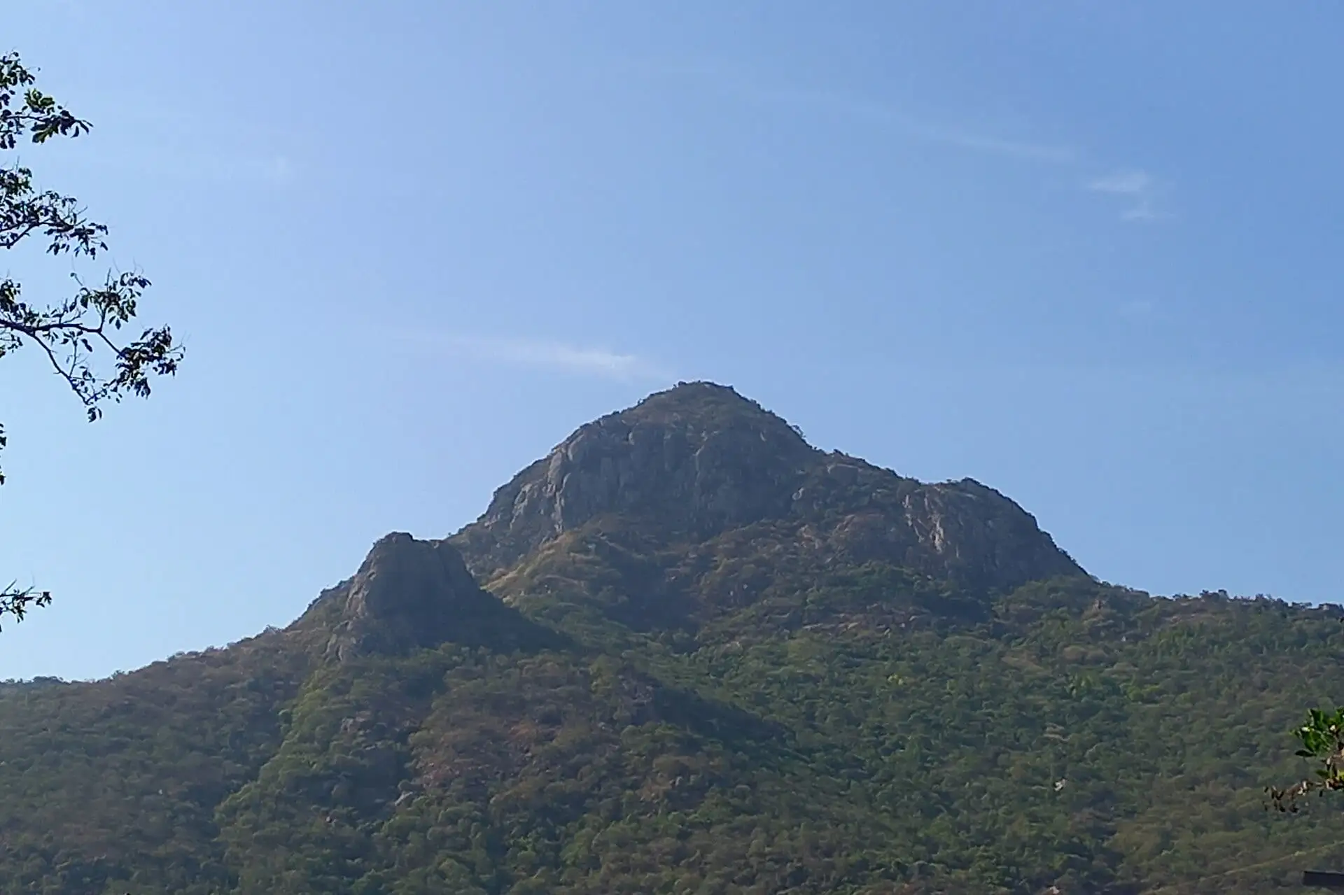 Girivalam guideComplete Girivalam guide: what it is, the 14 km route around Arunachala, the 8 Lingams, how long it takes, Pournami timing, safety, and a walking-time calculator.
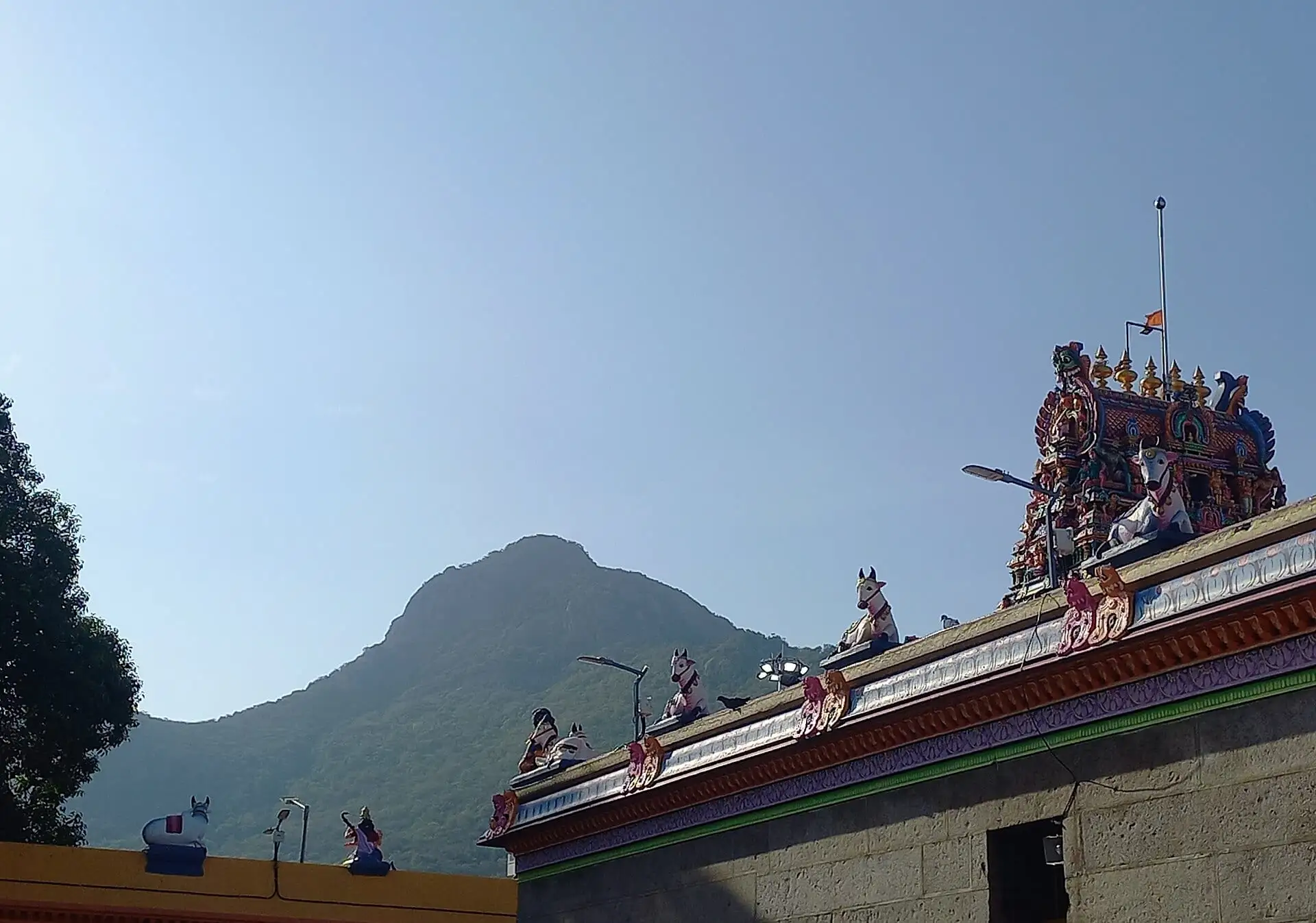 The 8 LingamsThe eight Ashta Lingams on the Girivalam path around Arunachala: Indra, Agni, Yama, Niruthi, Varuna, Vayu, Kubera and Esanya, with directions, traditions, notes and map.
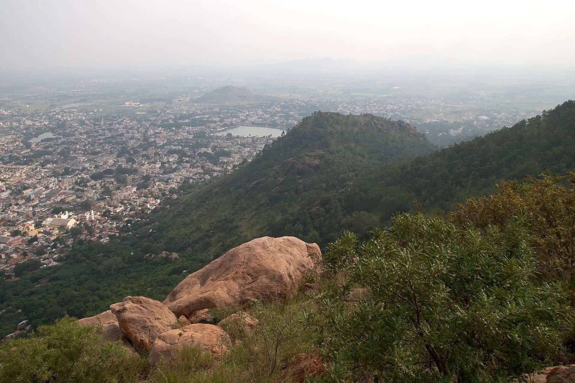 Distance & walking timeGirivalam is about 14 km. See typical walking times at slow, normal and brisk pace, what slows you on Pournami, and estimate your own finish time.
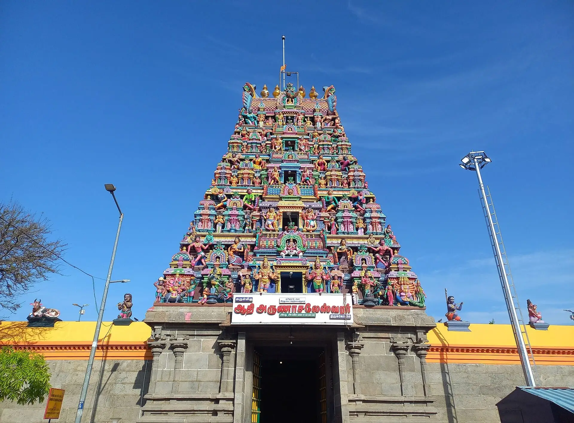 Adi Annamalai TempleAdi Annamalai Temple on the western side of Arunachala's Girivalam path: what tradition says about it, what you'll see, and adding it to your walk.