The complete Girivalam guide
Girivalam is the walk around Arunachala Hill, about 14 km on the main road, done clockwise and traditionally barefoot. Most people take four to six hours. This guide covers the route, the eight lingams, when to go, and how to walk it safely.
What Girivalam is
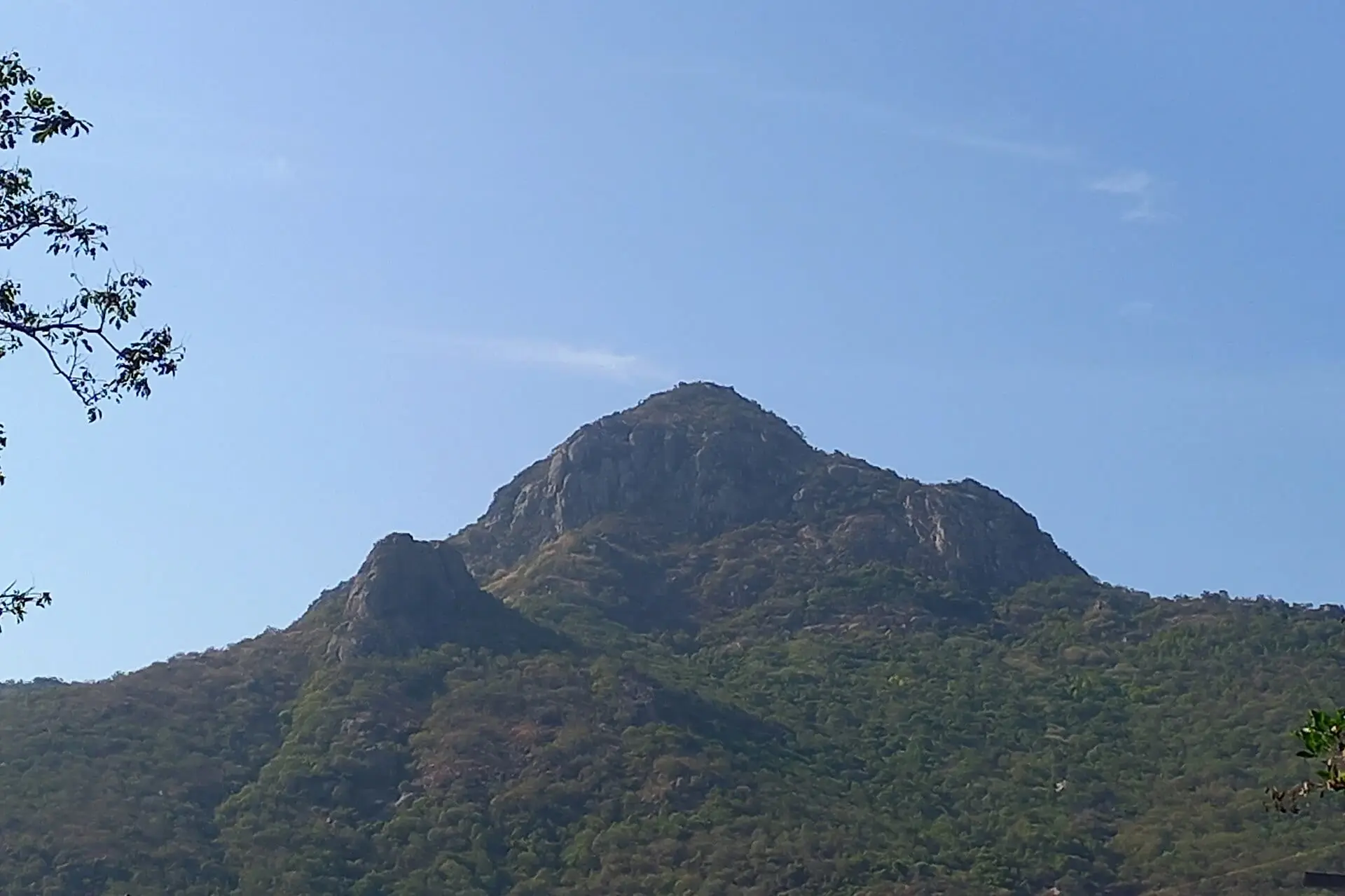
Girivalam comes from the Tamil giri (hill) and valam (going around). Traditionally, devotees walk around Arunachala as an act of pilgrimage. In the Arunachala tradition the hill is regarded as Shiva himself, so walking around it is a form of pradakshina, the clockwise circling of a sacred object. The Arunachala Mahatmyam, part of the Skanda Purana, praises the practice, and Ramana Maharshi encouraged those who were able to do it.
According to the Tiruvannamalai District Administration, pilgrims do Girivalam on full-moon days and on festival days such as Karthigai, the first day of a Tamil month and Tamil New Year. People also walk it on ordinary days.
The route at a glance
| Distance | About 14 km (8½ miles), per the district administration |
| Direction | Clockwise, with the hill on your right |
| Traditional start | East Rajagopuram of Arunachaleswarar Temple |
| Surface | Tarred road with footpaths on most stretches; mostly level |
| Typical time | 4–6 hours with stops; about 3 hours for brisk walkers |
| On the way | 8 Lingams, many shrines and tanks, Adi Annamalai temple, ashrams |
From the temple the route runs south-west along Chengam Road past Sri Ramanasramam, round the western side of the hill through Adi Annamalai, and back into town from the north-east. The route guide describes each stretch.
The interactive map loads here. Every place is also listed below.
List of mapped places
- Arunachaleswarar Temple · open in Google Maps
- Arunachala Hill (summit, 814 m) · open in Google Maps
- Sri Ramanasramam · open in Google Maps
- 1. Indra Lingam (East) · open in Google Maps
- 3. Yama Lingam (South) · open in Google Maps
- 4. Niruthi Lingam (South-west) · open in Google Maps
- 5. Varuna Lingam (West) · open in Google Maps
- 7. Kubera Lingam (North) · open in Google Maps
- Chandra Lingam · open in Google Maps
The eight lingams
Eight lingams stand along the path, one for each direction, each associated with the guardian deity of that direction (the Ashta Dikpalakas). Pilgrims usually stop at each one in order.
| Order | Lingam | Direction | Map |
|---|---|---|---|
| 1 | Indra Lingam இந்திர லிங்கம் | East | OpenStreetMap |
| 2 | Agni Lingam அக்னி லிங்கம் | South-east | Not yet mapped |
| 3 | Yama Lingam எம லிங்கம் | South | OpenStreetMap |
| 4 | Niruthi Lingam நிருதி லிங்கம் | South-west | OpenStreetMap |
| 5 | Varuna Lingam வருண லிங்கம் | West | OpenStreetMap |
| 6 | Vayu Lingam வாயு லிங்கம் | North-west | Not yet mapped |
| 7 | Kubera Lingam குபேர லிங்கம் | North | OpenStreetMap |
| 8 | Esanya Lingam ஈசான்ய லிங்கம் | North-east | Not yet mapped |
The district administration notes a few specifics:
- Agni Lingam is the only one on the right side of the path.
- Yama Lingam is about 3 km from the Rajagopuram.
- Varuna Lingam is about 8 km from it.
- Devotees traditionally offer coins at Kubera Lingam.
Each lingam is described on the 8 Lingams.
How long it takes
For pace advice and what slows people down, see distance and walking time.
When to go
- Pournami (full moon). Most pilgrims walk through the night while the Pournami tithi lasts, and crowds are very large. The Pournami calendar gives the start and end times, and Pournami and night Girivalam explains what to expect.
- Any other day. Early morning, between about 5 and 9 AM, is cool and quiet.
- Avoid midday heat from March to June, when the road surface gets very hot.
- Festival days such as Karthigai Deepam and Maha Shivaratri bring the largest crowds of the year.
Practical essentials
- Footwear: barefoot is traditional, not compulsory. Walk after sunset or before 9 AM if barefoot; cotton socks help.
- Water: carry it. Stalls and water points line the route, with many more on Pournami.
- Direction and side: keep the hill on your right and walk on the left side of the road.
- Plastic: single-use plastic is banned in Tamil Nadu, so carry a bottle and a cloth bag.
- Valuables: keep them to a minimum; crowds on full-moon nights are dense.
- Stopping part-way: autos wait at several points along the road.
More detail is in the first-time Girivalam guide and Girivalam with children and elderly family members.
Climbing the hill is different
Girivalam goes around Arunachala, not up it. The hill is forest land, and climbing to the summit is regulated. It is generally allowed only on specific occasions, such as the day of the Maha Deepam, and then only with passes issued in limited numbers. Short, well-used footpaths lead from Sri Ramanasramam to Virupaksha Cave and Skandashram.
Girivalam guides
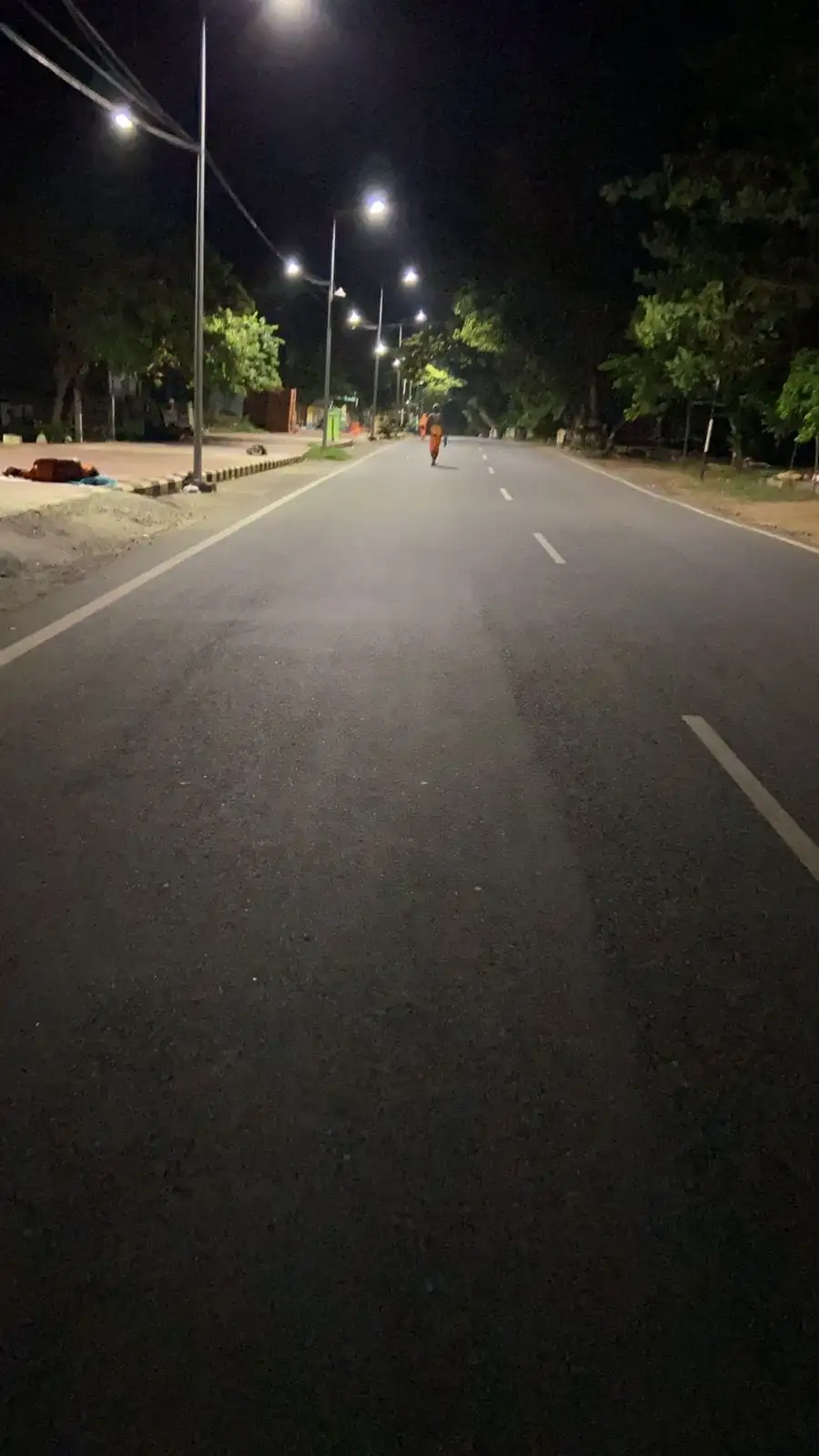 Route & mapThe Girivalam route around Arunachala with a map: where to start, which direction, each stretch of the 14 km road, lingams, and stopping part-way.
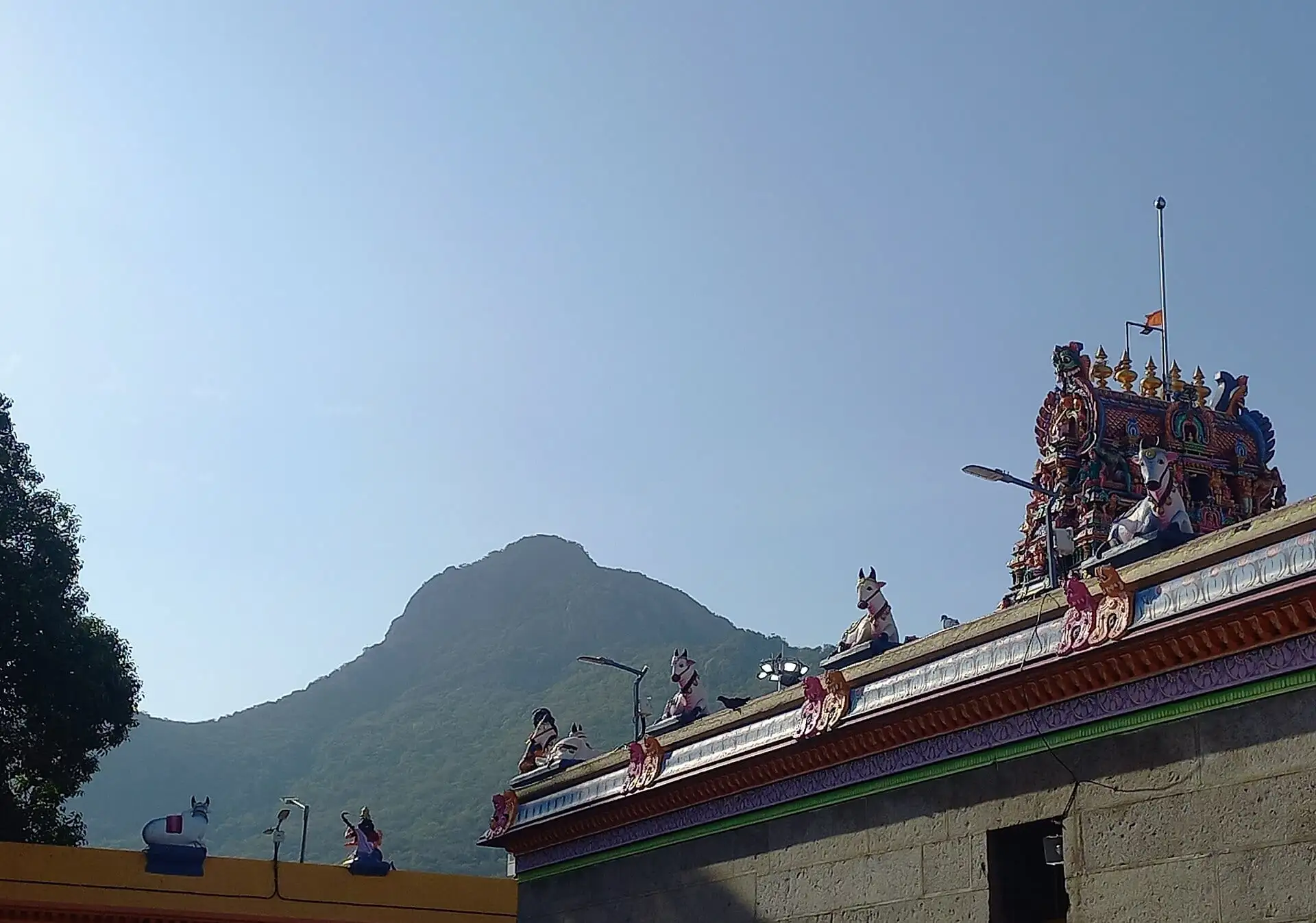 The 8 LingamsThe eight Ashta Lingams on the Girivalam path around Arunachala: Indra, Agni, Yama, Niruthi, Varuna, Vayu, Kubera and Esanya, with directions, traditions, notes and map.
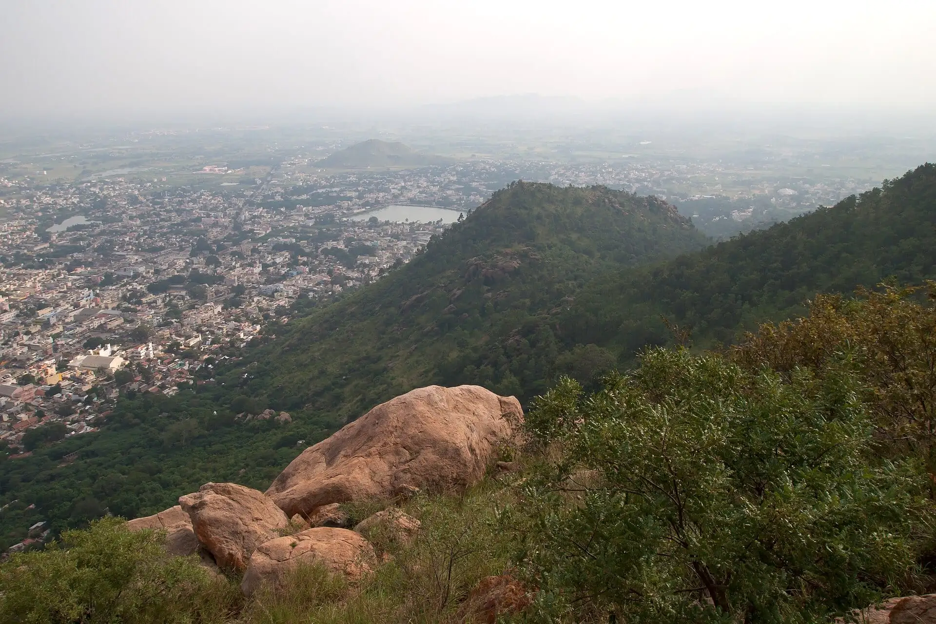 Distance & walking timeGirivalam is about 14 km. See typical walking times at slow, normal and brisk pace, what slows you on Pournami, and estimate your own finish time.
- Pournami & night GirivalamWhat Pournami Girivalam is like: when to start within the full-moon tithi, crowds and road closures, walking at night safely, and the busiest full moons of the year.
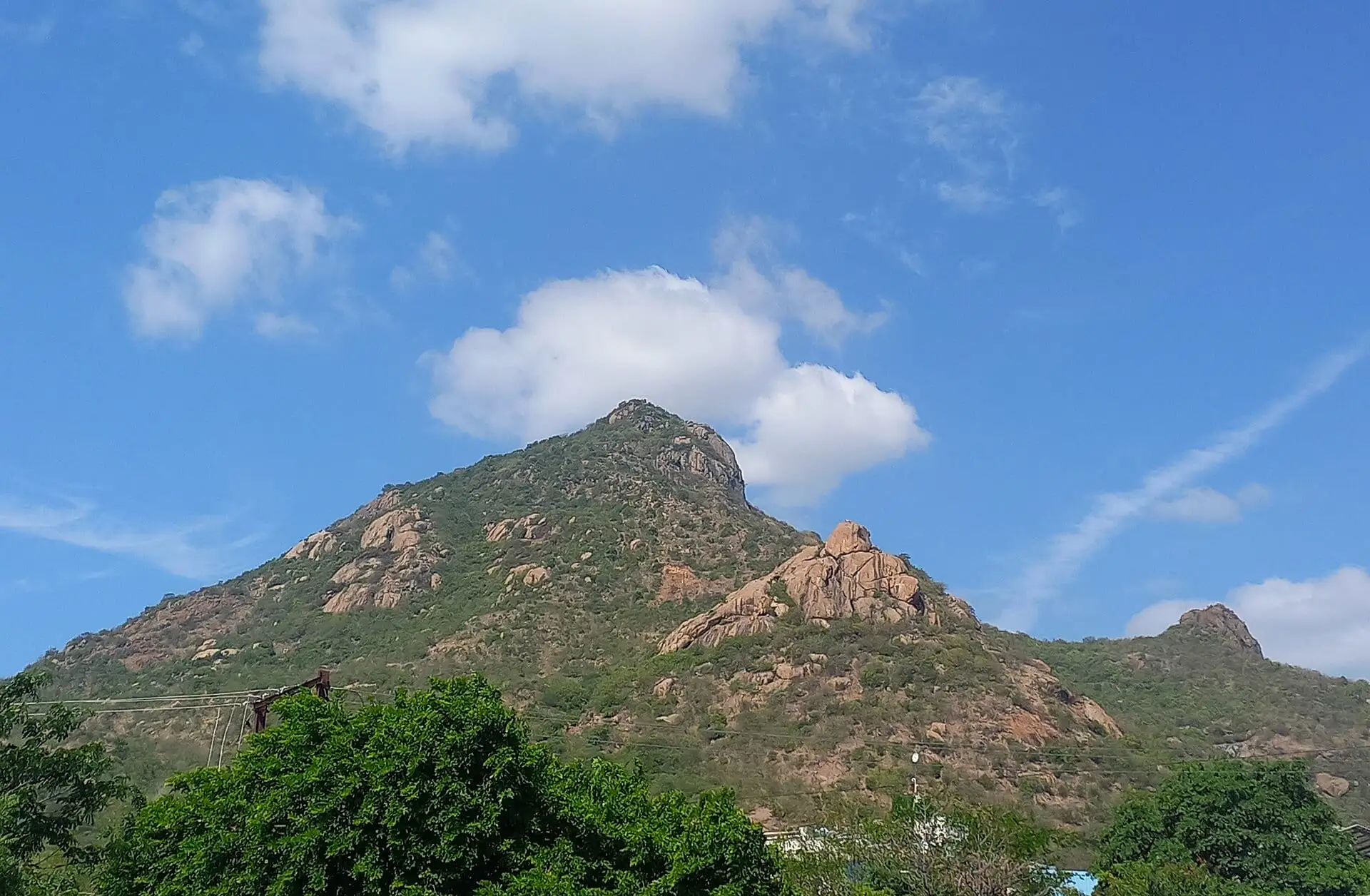 First-time GirivalamA first-timer's guide to Girivalam at Tiruvannamalai: what to carry, what to wear, barefoot or not, etiquette on the path, food and water, and a simple step-by-step plan.
- With children & eldersCan children and elderly people do Girivalam? Practical advice on pace, timing, footwear, rest, shorter options by auto, crowd safety and health precautions for families.
Common questions
What is Girivalam?
Girivalam (giri = hill, valam = going around) is the practice of walking around Arunachala Hill as an act of worship. Devotees traditionally regard the hill as Shiva himself, so circling it is a form of pradakshina.
How many km is Girivalam in Tiruvannamalai?
The Tiruvannamalai District Administration gives the Girivalam path as about 14 km (8½ miles) around Arunachala.
How long does Girivalam take?
Most people take four to six hours at an easy pace with stops at the lingams. Brisk walkers can finish in about three hours; on busy Pournami nights it can take longer.
What is the right direction for Girivalam?
Clockwise, keeping the hill on your right-hand side. From the temple you head south-west along Chengam Road and return into town from the north-east.
Is it compulsory to walk barefoot?
No. Walking barefoot is traditional but not required. The road is tarred and gets hot, so many pilgrims walk at night or wear cotton socks. Elderly pilgrims and anyone with a medical condition should wear footwear.
Sources & references
- Full Moon Day (Girivalam)Tiruvannamalai District AdministrationGovernment of Tamil Nadu · checked27 September 2026
- ArunachalaWikipediaReference work · checked27 September 2026
- Etiquette around ArunachalaSri RamanasramamInstitution · checked27 September 2026
- OpenStreetMap map dataOpenStreetMap contributors (ODbL)Open data · checked27 September 2026
Please verify important timings and festival dates with official sources before travelling.
This is an independent informational guide, not the official temple website. For darshan tickets, sevas and donations, use the official HR&CE temple website.
Continue exploring Arunachala
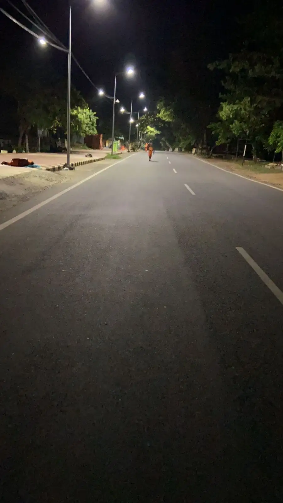 Route & mapThe Girivalam route around Arunachala with a map: where to start, which direction, each stretch of the 14 km road, lingams, and stopping part-way.
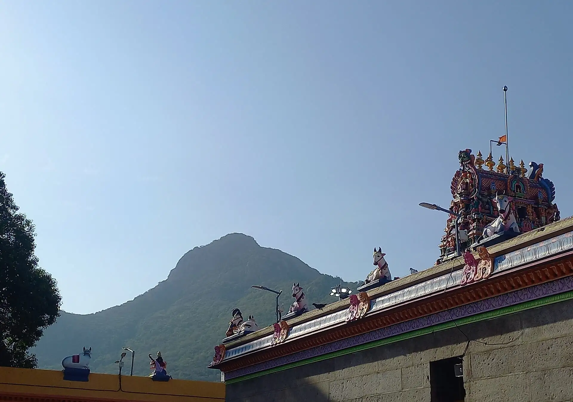 The 8 LingamsThe eight Ashta Lingams on the Girivalam path around Arunachala: Indra, Agni, Yama, Niruthi, Varuna, Vayu, Kubera and Esanya, with directions, traditions, notes and map.
- Pournami datesTiruvannamalai Pournami Girivalam dates with exact start and end times (IST) of each full-moon tithi for 2026, 2027 and 2028, plus the next Girivalam and a countdown.
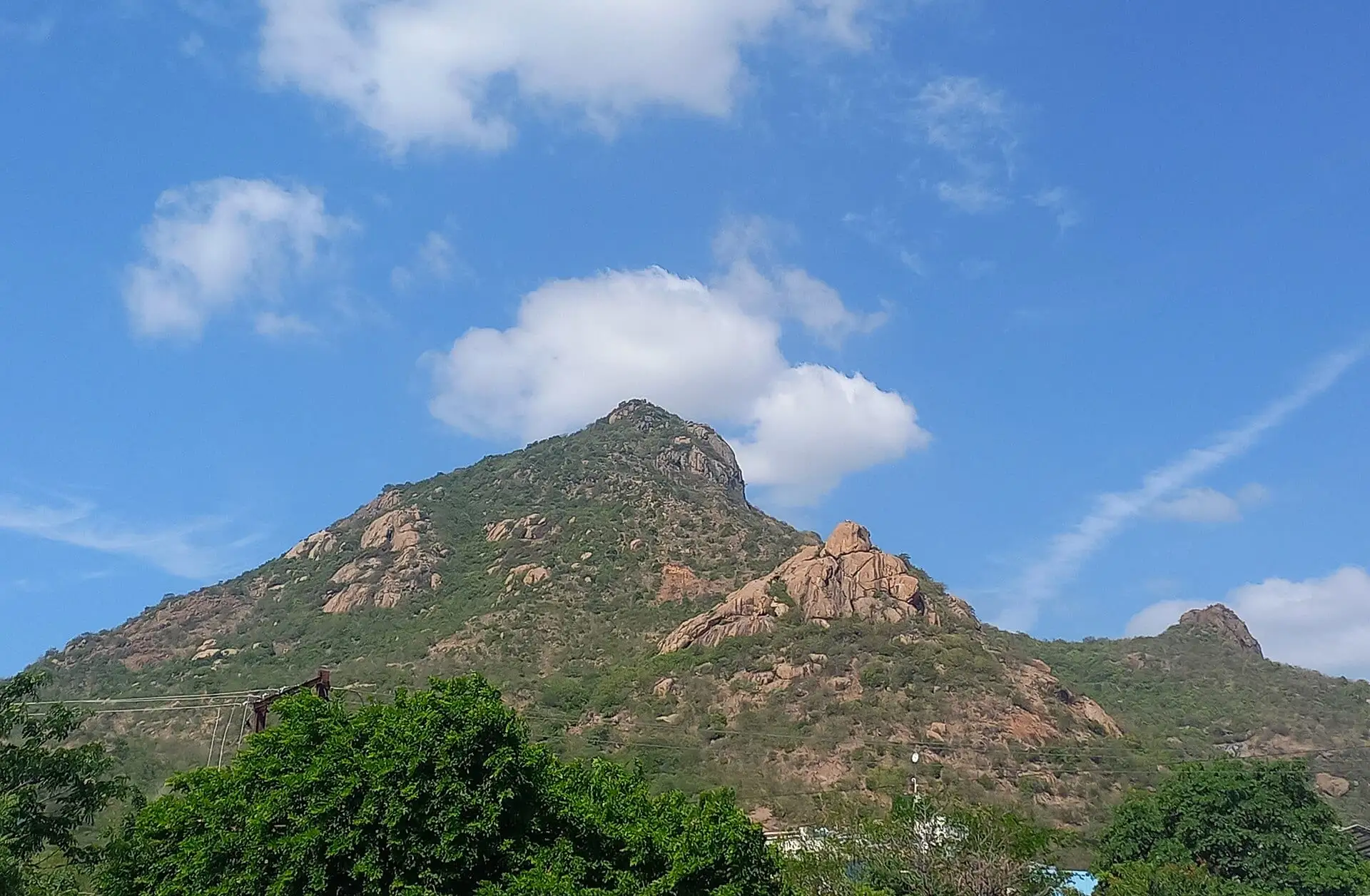 First-time GirivalamA first-timer's guide to Girivalam at Tiruvannamalai: what to carry, what to wear, barefoot or not, etiquette on the path, food and water, and a simple step-by-step plan.
 Where to stayWhere to stay in Tiruvannamalai: the best areas for darshan, Girivalam and the ashrams, ashram rooms, and booking tips for Pournami and Deepam.